If you’re like most people, you probably use a GPS pretty often. Whether you use it to find the fastest route to work or travel to new destinations, GPS has become a mainstay of people’s lives. However, many people give little thought to how this system works.
A global positioning system relies on satellite navigation to track your device. This satellite system can also survey the best routes for your device to follow to reach your destination.
We’ll explain how this satellite navigation works in more detail below. This way, you can find the best GPS system for your fleet management.
Who Provides Satellite Navigation?
Table of Contents
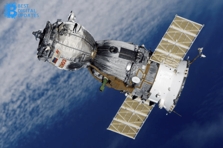
Satellite navigation relies on a global network of satellites that transmit radio signals. There are thirty-one satellites that the United States operates for GPS purposes.
Additionally, there are other satellite constellations run by other entities. These entities include:
- The Russian Federation
- The European Union
- China
Each of these providers has agreed to provide free use of their systems for the international community. These providers developed standards and practices to help aviators use these satellites for their navigational needs.
Accuracy of GPS Systems
Satellite navigation provides remarkable accuracy. The average GPS service gives users roughly 7.0-meter accuracy 95% of the time.
It can provide this to vehicles anywhere on the planet! So, how can these satellites provide this accuracy?
First, each American-run satellite sends signals that activate receivers. These receivers become active when they receive a series of signals from at least four satellites.
The receiver then uses this information to determine a location and time for that device. It can then broadcast these codes through the satellite to continuously track the time.
The receiver then uses the time difference between the signal’s reception time and the broadcast time to determine the range between the receiver and satellite.
This way, the receiver can compute a three-dimensional position. It then uses four satellites to determine the latitude, longitude, altitude, and time. It then broadcasts this information to your GPS system, allowing you to track these variables.
How Commercial GPS Systems Benefit the Telematics Industry
A commercial GPS system can tremendously benefit several types of fleets. These systems can tell your vehicles the fastest routes to their destinations.
They can also alert your drivers about upcoming slow-downs or speed traps. This technology allows your fleet to streamline its delivery speeds. As such, they can save time and decrease fuel costs.
They also become more productive. After all, the faster drivers complete one route, the sooner your fleet can begin another.
Many GPS systems offer other features, too. These include tools that monitor your driver’s speed, giving fleet managers updates on their behaviors. This information allows managers to cut back on dangerous driving habits.
Find the Best GPS System for Your Fleet
As you can see, satellite navigation is an incredibly accurate and helpful tool. Use this technology to improve your fleet’s performance and bolster your company’s reputation.
So, find the best GPS system for your drivers today! Soon, you can see tremendous benefits in their performance.
We hope you enjoyed this article! If so, check out our other information today. We cover a wide range of topics that are sure to help you.


